Claytor Lake Watch
Real-time water monitoring for Claytor Lake, Virginia. Dam levels, stream gauges, and water temperature — all in one place.
Current Conditions
Live data from USGS, AEP Recreation Portal, and satellite estimates
Loading monitoring data...
Claytor Lake Dam
AEP Claytor Hydroelectric Project · Updates every 15 min
USGS Monitoring Stations
Real-time stream gage data from USGS WaterServices API
Water Temperature
Satellite-derived surface temperature estimate · Updates ~every 8 days
Did You Know?
Interesting facts, history, and information about Claytor Lake, Virginia.
⚡Claytor Lake was created in 1939
The lake was formed when Appalachian Power Company (AEP) completed the Claytor Dam on the New River to generate hydroelectric power. The dam stands 103 feet high and is 1,140 feet long.
1 of 10 · Auto-advances every 5 seconds
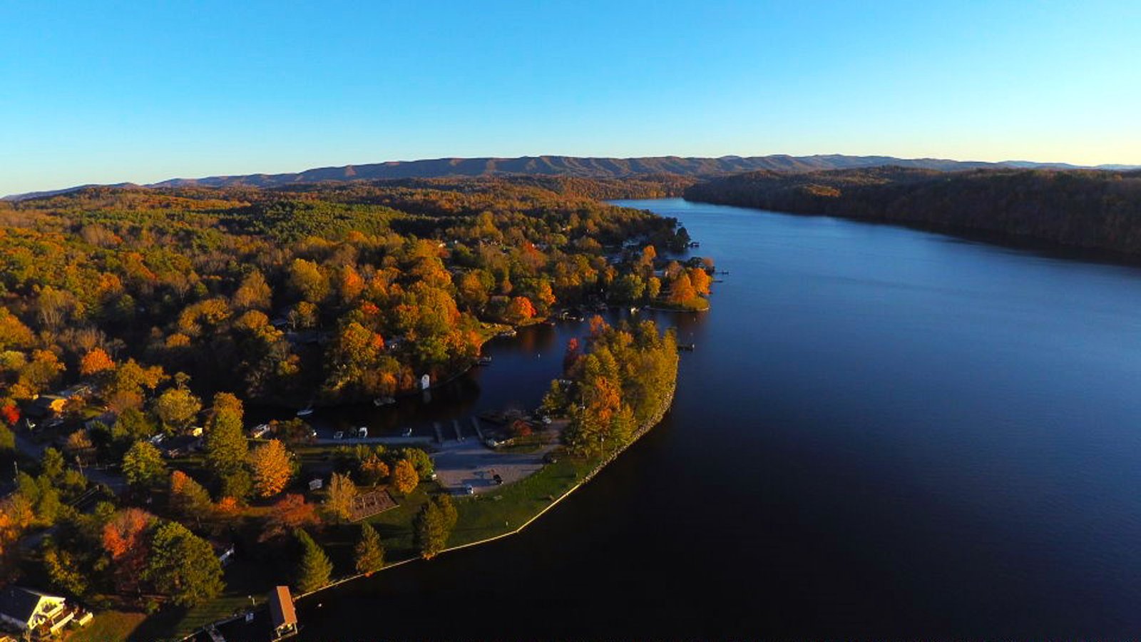
About Claytor Lake Watch
Claytor Lake Watch is an independent community resource providing real-time water monitoring data for Claytor Lake, Virginia. Covering 4,475 acres with 101 miles of shoreline in Pulaski County, Claytor Lake is one of Southwest Virginia's most treasured natural resources. Our goal is to give homeowners, boaters, anglers, and outdoor enthusiasts easy access to the data that matters most — dam levels, stream flows, and water conditions — all in one place, updated automatically throughout the day.